You are here: Home>Work>Agriculture, Horticulture and Allotments>Map of allotments Kennedy Gardens on Hosey Hill
Map of allotments Kennedy Gardens on Hosey Hill

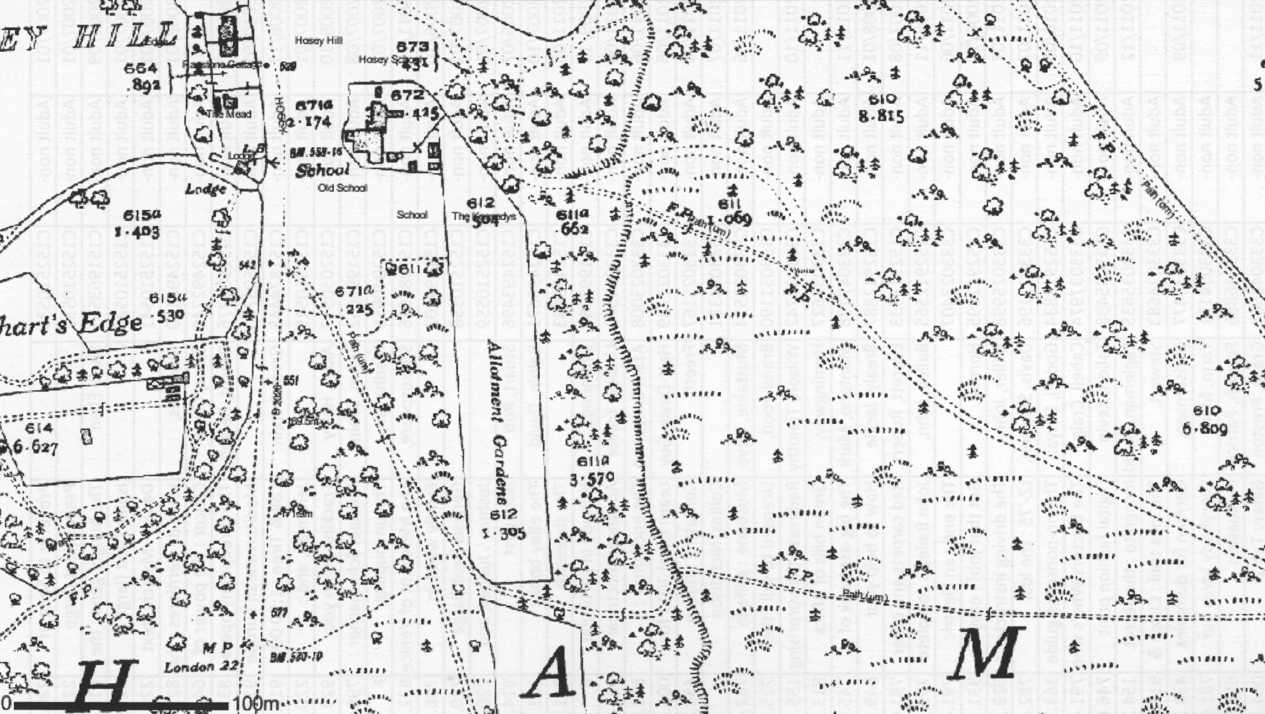
This 1934 O.S. map shows the northern half of the ‘Kennedy Garden’ allotments, being plots 27 at the south end and 41 at the north, behind the school. Between the two divided sections of the Gardens can be seen the haul road for movement of ragstone excavated from the Hosey mines in the nineteenth century.
Date of coverage
1934Contributor
Jacs Taylor-SmithReference number
WH0429Collection
Format
Photograph (974)


No Comments
Add a comment about this page